Δεν είναι δυνατό να βρεθεί η σελίδα "/Research/Tracking_turltes/Tracking_turltes_04092007D.htm" που ζητήθηκε.
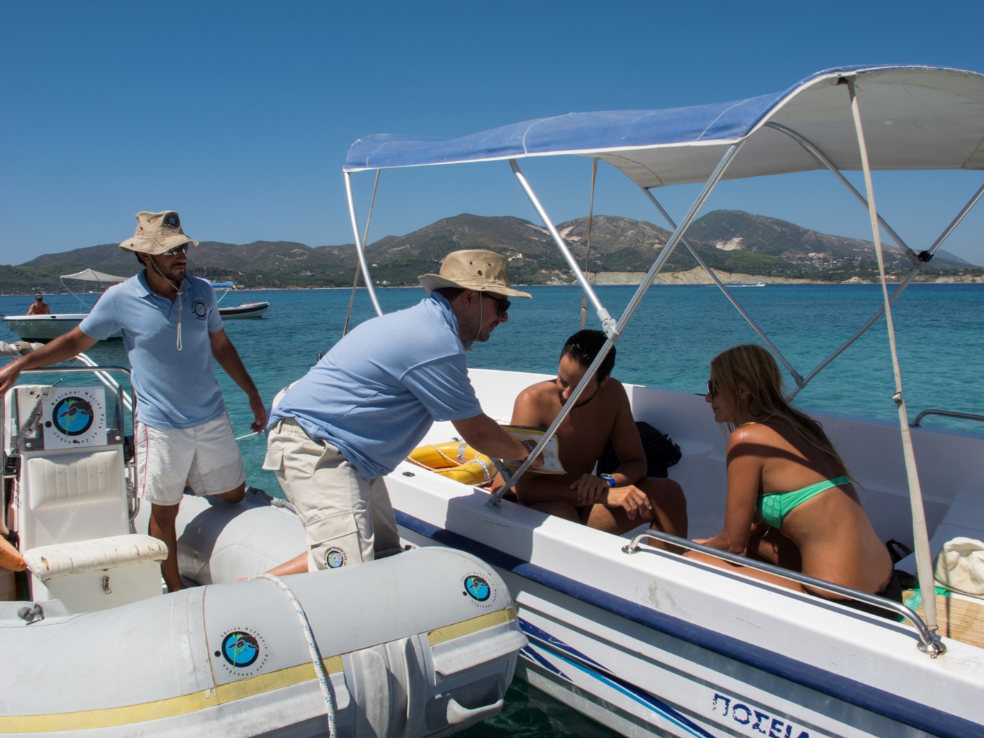
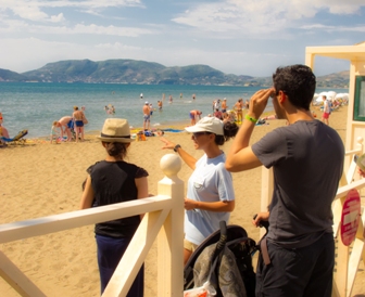
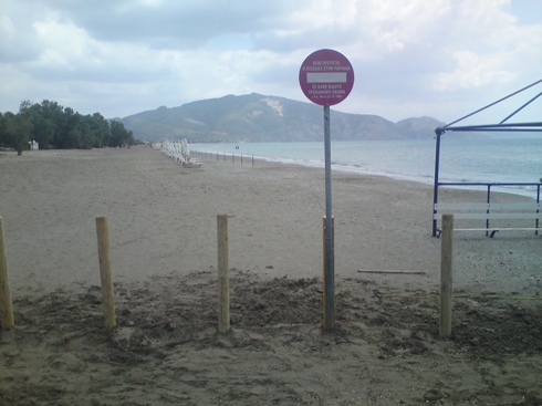
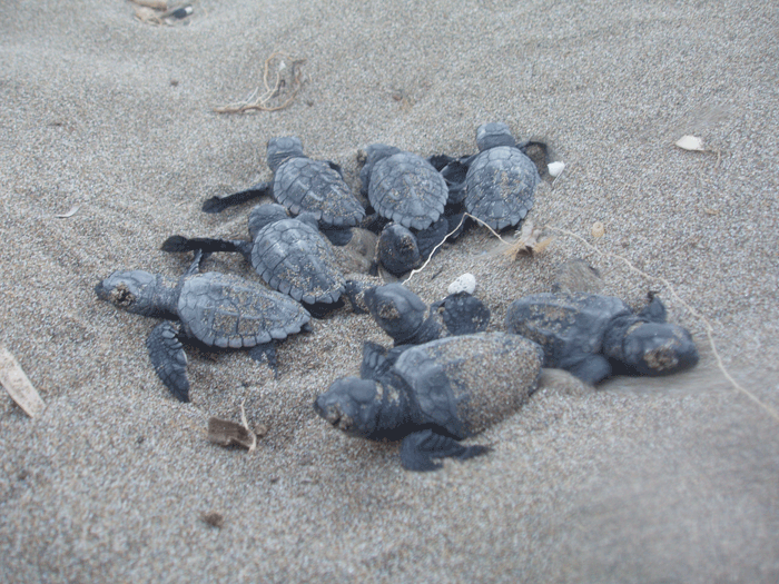
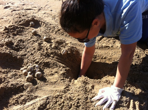
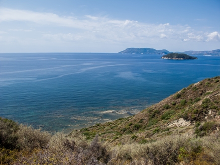
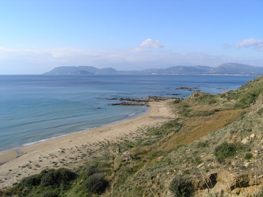
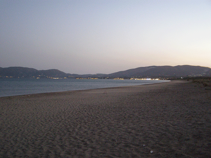
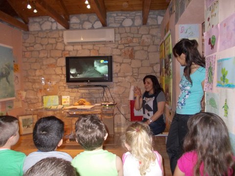
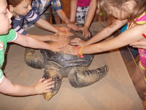
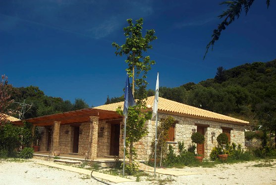
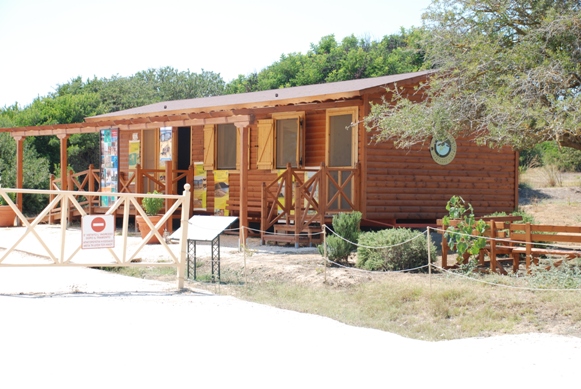
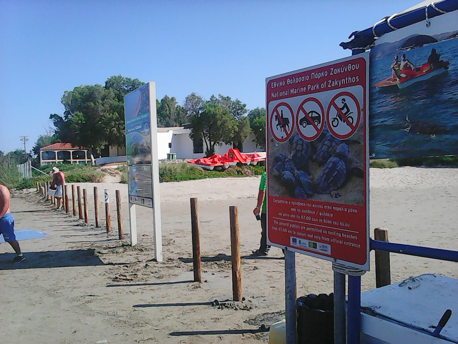
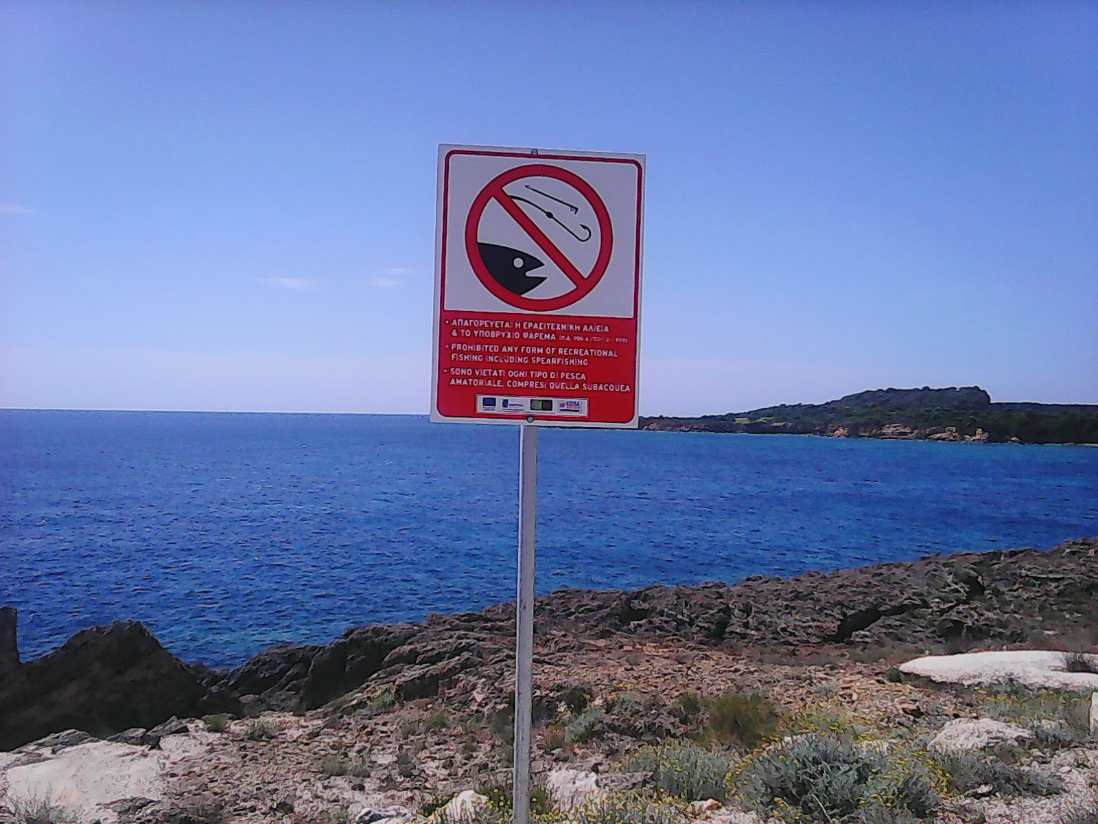
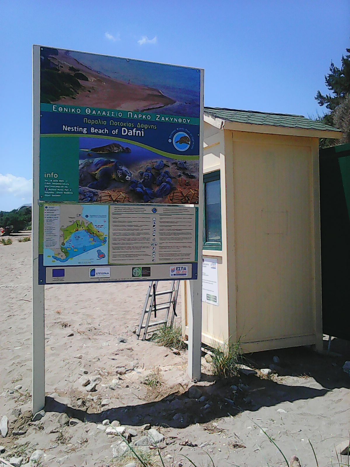
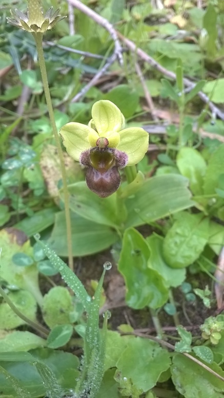
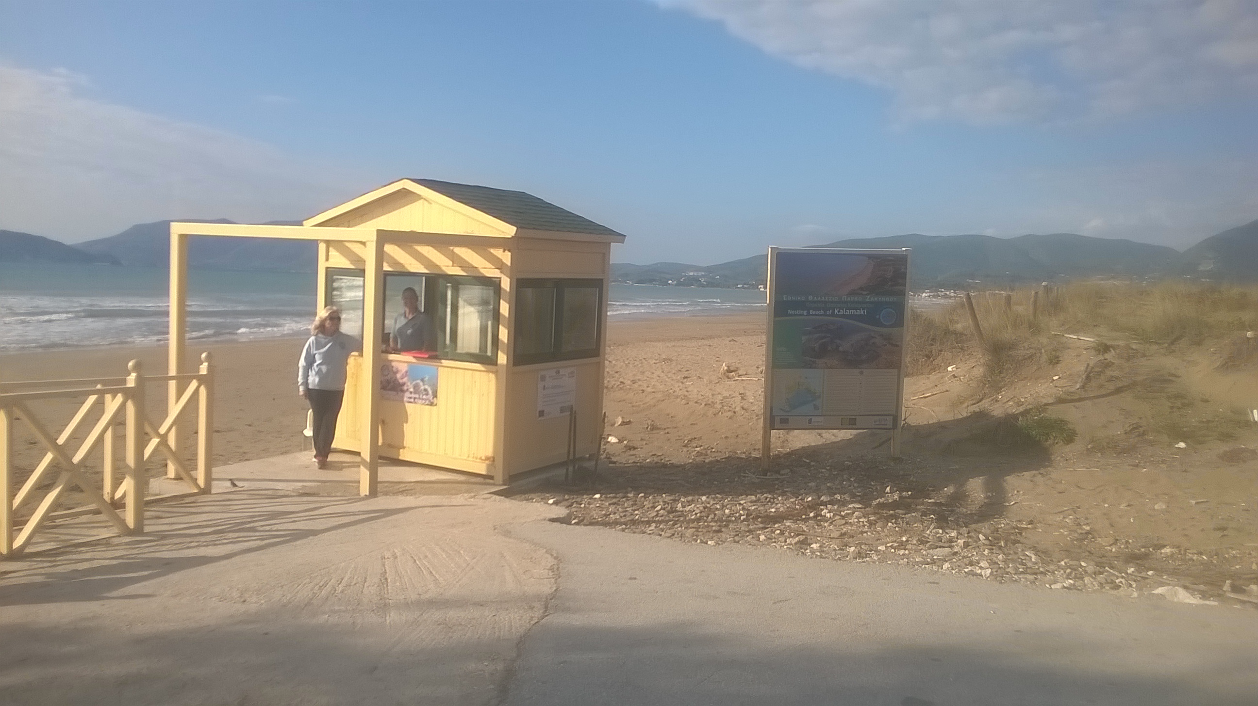
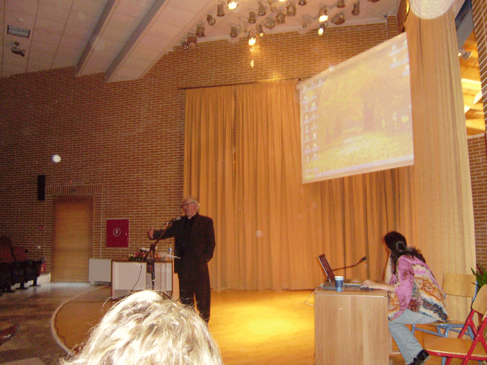
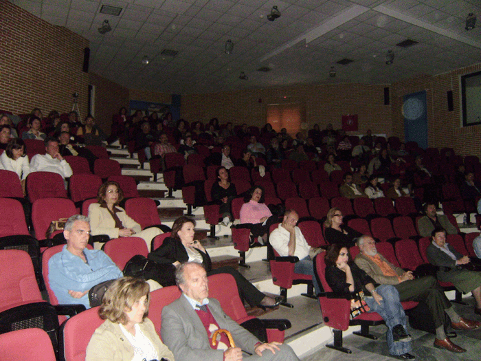
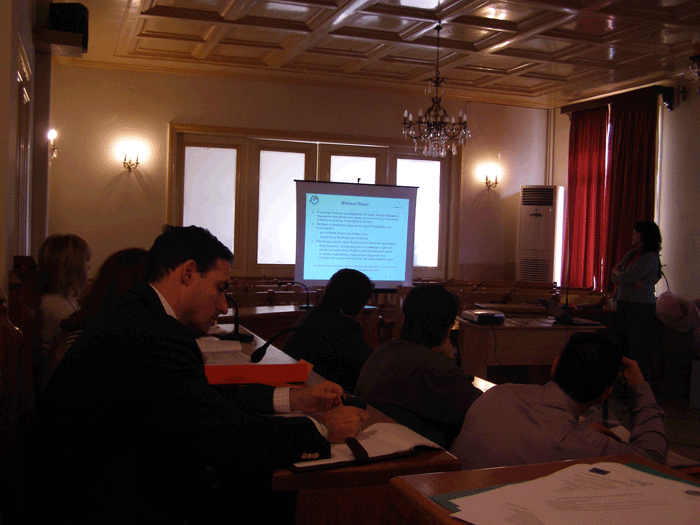
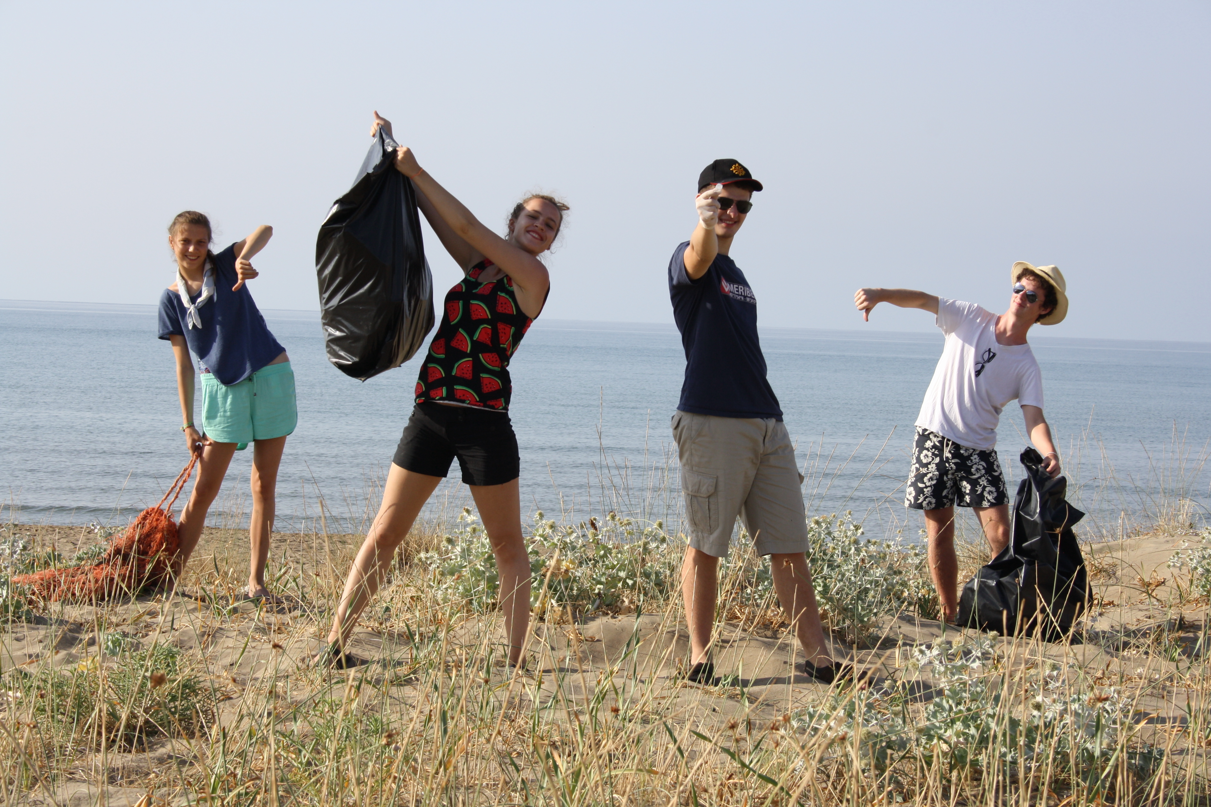
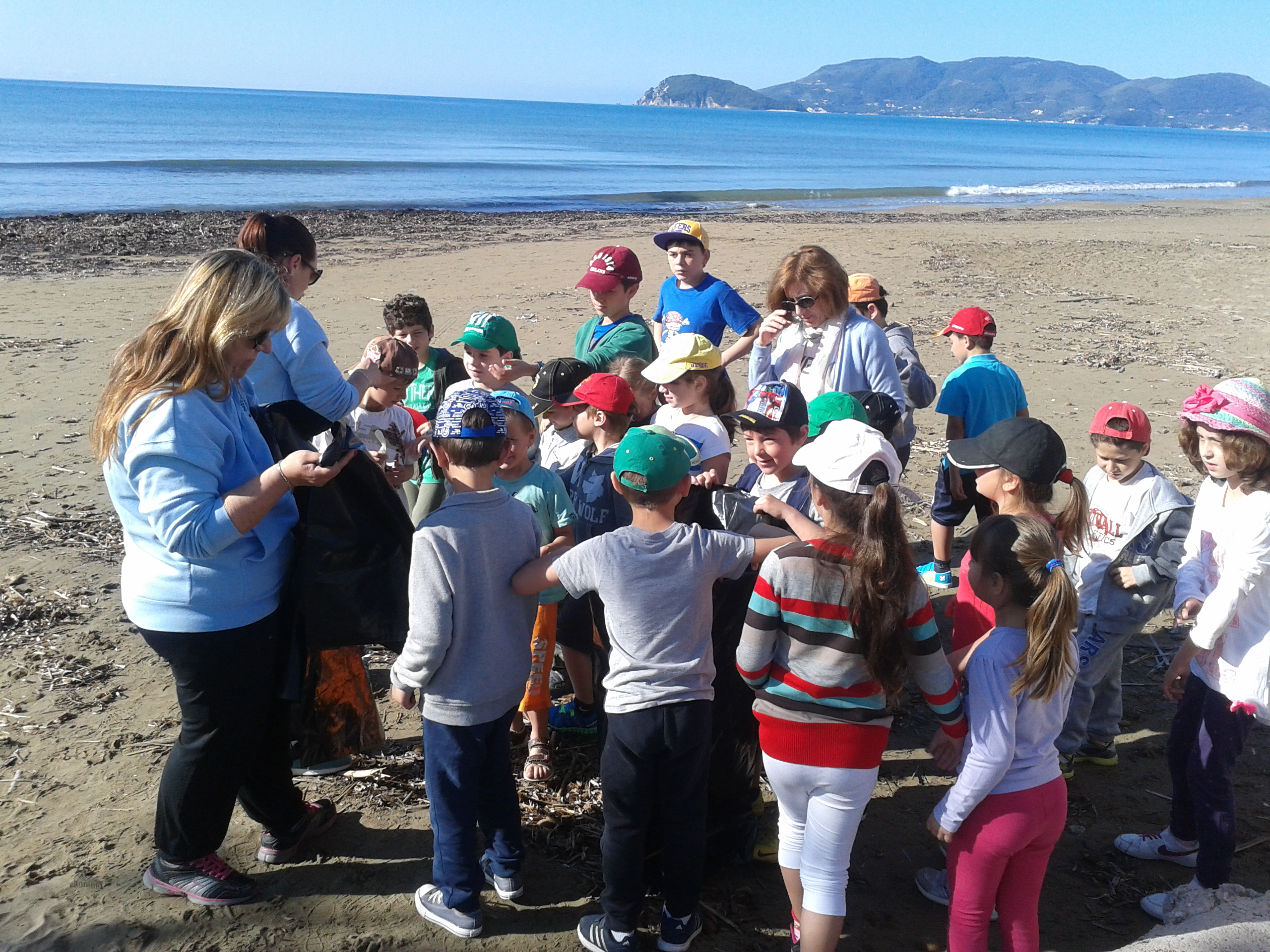
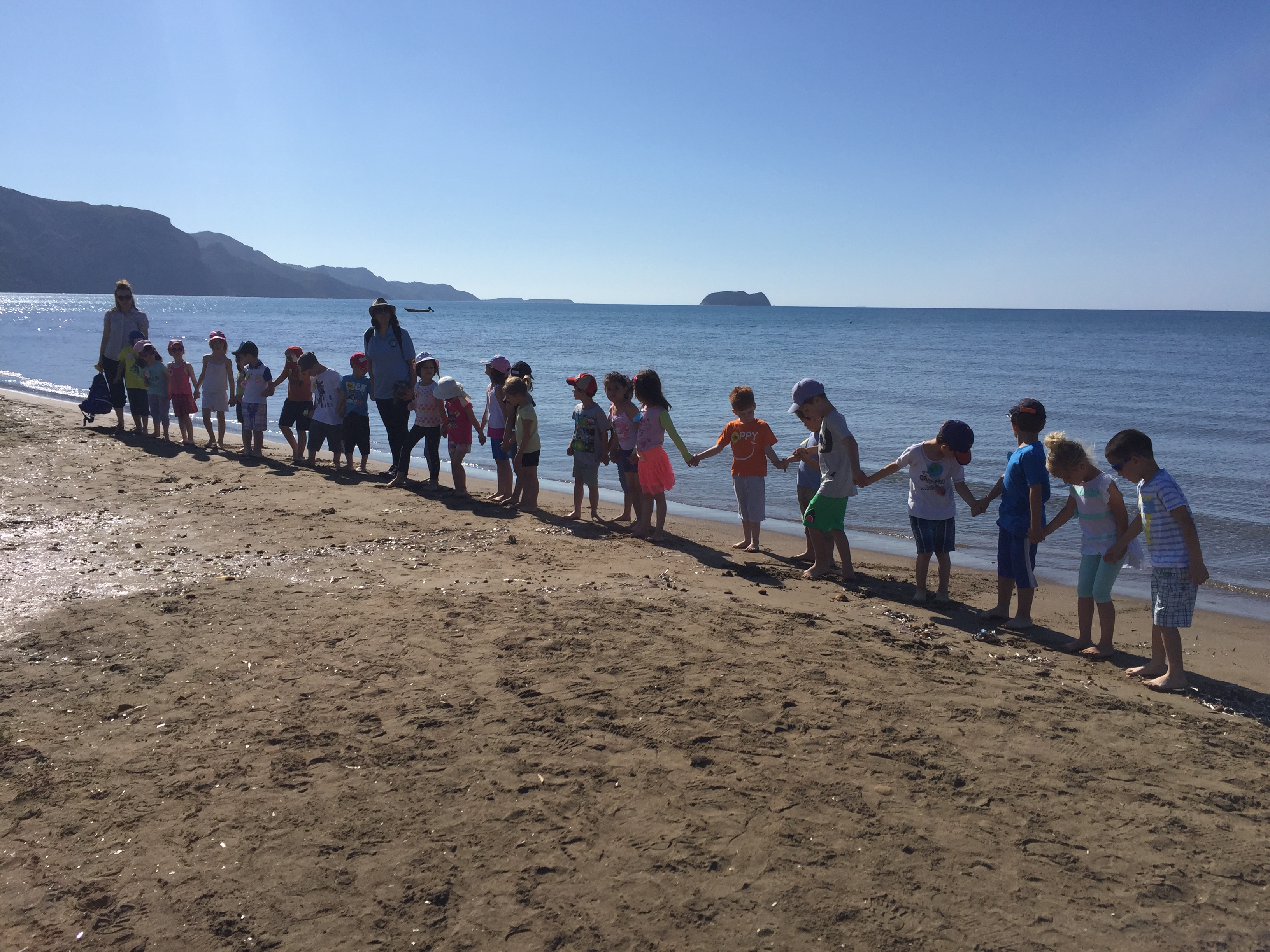
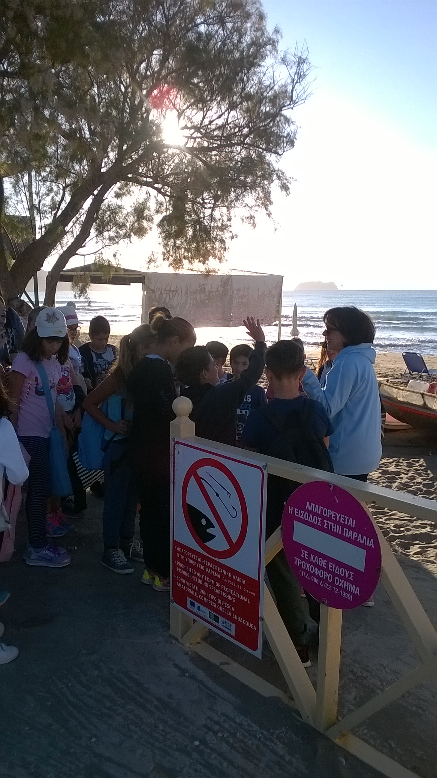
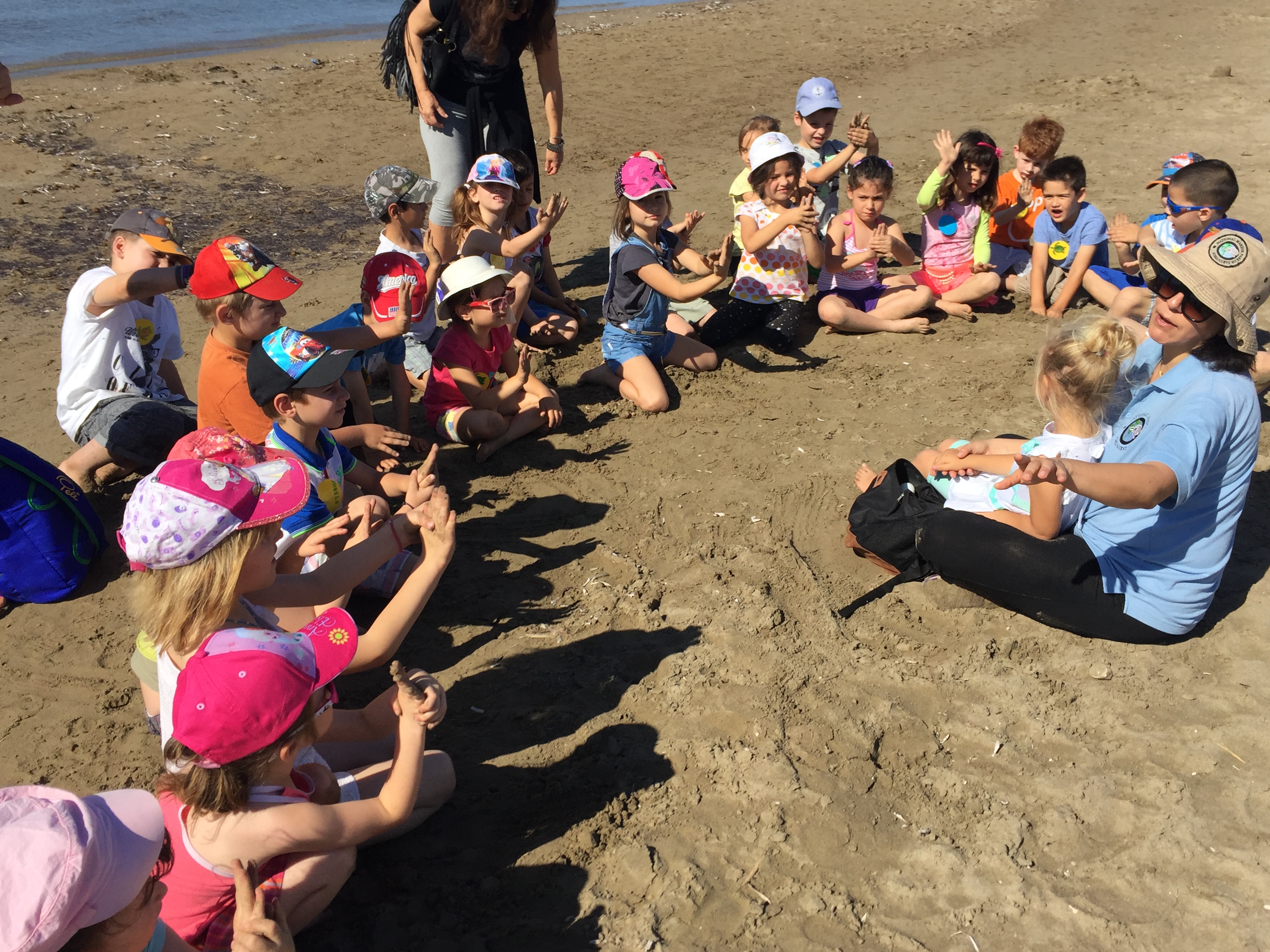
Οι φωτογραφίες του ΕΘΠΖ


O Φορέας Διαχείρισης Εθνικού Θαλάσσιου Πάρκου Ζακύνθου ενσωματώθηκε στον Οργανισμό Φυσικού Περιβάλλοντος και Κλιματικής Αλλαγής (Ο.ΦΥ.ΠΕ.Κ.Α.) σύμφωνα με την υπ’ αριθμ. ΥΠΕΝ/ΔΝΕΠ/4247/206/14-2-2022 απόφαση (ΦΕΚ 800/Β/23-2-2022)
Η ιστοσελίδα της νέας Μονάδας Διαχείρισης Εθνικών Πάρκων Ζακύνθου, Αίνου και Προστατευόμενων Περιοχών Ιονίων Νήσων είναι διαθέσιμη στον ακόλουθο σύνδεσμο:
https://necca.gov.gr/mu-ionian
Η παρούσα ιστοσελίδα του πρώην Φορέα (http://nmp-zak.org) πλέον δεν ενημερώνεται και παραμένει για αρχειακούς λόγους.
Επικοινωνία: mdpp.ionian@necca.gov.gr
Natural Environment and Climate Change Agency (NECCA) incorporated National Marine Park of Zakynthos Management Body, due to MD ΥΠΕΝ/ΔΝΕΠ/4247/206/14-2-2022 (GG 800/Β/23-2-2022)
The website of Management Unit of Zakynthos and Ainos National Parks and Protected Areas of the Ionian islands is available at the following url:
https://necca.gov.gr/mu-ionian
The present website of the ex-Management Body (http://nmp-zak.org) is not currently updated and remains live for archival purposes.
Contact: mdpp.ionian@necca.gov.gr